Meridian
Bratislava’s Meridian
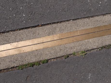
» Small reminder of the former Prime Meridian, according to which all the maps in Hungary were drawn since 1733. It is a bit of a mystery, it aims at one of the towers of the castle - the northeastern one. The lovers of esoteric conspirations think that there is also a connection with the nearby ford across the Danube. The Water Tower, today in ruins, is located near as well. Cool thing about this place is a large stone hole near the tower that was used for storing ice. «
» Yes, Mikovíny’s [Samuel Mikovíny, 18th Century Slovak cartographer] Meridianus Posoniensis = Bratislava’s Meridian. Back then, no one knew about Greenwich and each cartographer would use their own system of coordinates. Samuel Mikovíny was an ingenious polymath – he was behind the project of artificial water reservoirs providing energy for the silver mines near Banská Štiavnica, also he was the founder of the Mining Academy, by which he contributed to development of Banská Štiavnica into a technical centre of 18th Century Europe. «